


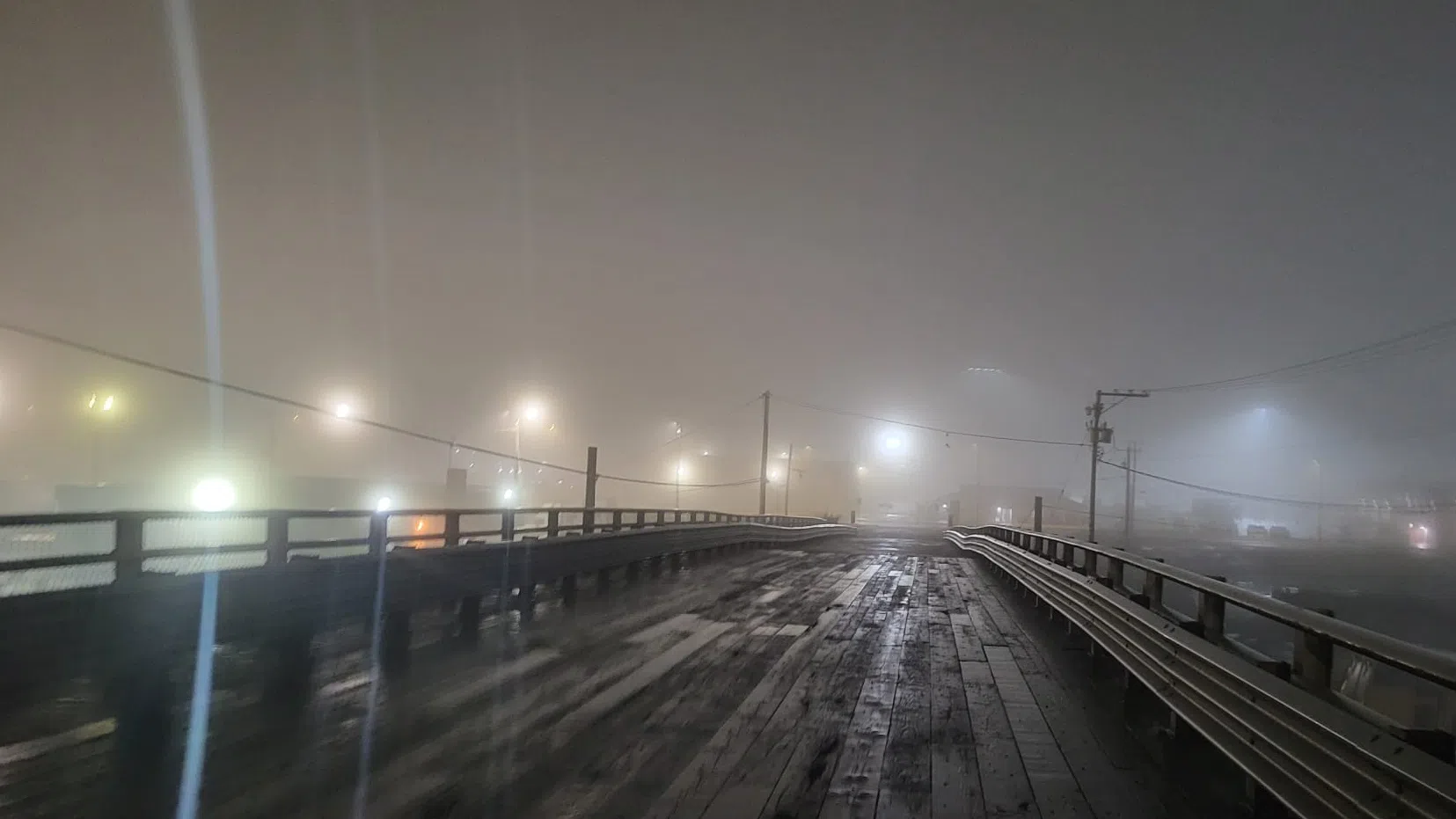
NANAIMO — A thick blanket of fog has enveloped the mid-Island, and it’s a pattern which could continue through much of the week.
After days of torrential rain, a high pressure system is moving across the region, bringing warmer temperatures but also trapping damp air near the surface.
“As a result, widespread fog has formed. Conditions are expected to improve [late Wednesday] morning as a weak front mixes some of the moisture out,” an advisory from Environment Canada read.
The weather office said “widespread near zero visibility is possible”.
The advisory is in place for a vast majority of the Vancouver Island east coast, spanning from just south of Sayward down to Victoria.
It also extends inland to just east of Port Alberni.
“Adjust travel plans accordingly. If driving, turn on your lights, slow down and maintain a safe following distance,” Environment Canada advises.
A pattern of overnight fog gradually burning off in the afternoon, only to return overnight, is expected to remain for at least a few days.
Daytime high temperatures are expected to be around double the average for this time of year, either side of 10 degrees, through until Monday, Jan. 19, when more seasonable conditions return.
Subscribe to our daily news wrap. Local news delivered to your email inbox every evening. Stay up to date on everything Nanaimo and Oceanside.
Follow us on: Twitter (X) | Bluesky | Facebook


